We understand you want the best map and location technology for your application build. And you want to discuss your use case and project with someone who understands what you want to achieve.
We’ve been mapping and location solution specialists since 2008 when we first set up our mapping team. Since then, we have continued to add the world’s leading location vendors to our portfolio to give you the choice of best-in-class mapping platforms, mapping software, and location services that suit your different development needs.
- Global Distributor for Microsoft Bing Maps
- Distributor for HERE Technologies
- CSP Direct and Indirect for Azure Maps
- IoT Location of Things specialist
- Managed services for systems modernisation, scale, and cyber security solutions
If our years of mapping experience has taught us one thing,
it's that your use case is unique.
Our deep knowledge of our vendors' geospatial services and solutions means the advice we give you is objective. We want to ensure you benefit from the choice of the most suitable and powerful technology and licence type for your application. Here are some example app development scenarios:
Mobile SDKs
Integrate fully featured map controls into Android and iOS mobile applications including positioning, 3D mapping, customised maps, truck routing, historical traffic patterns and turn-by-turn navigation.
Business Intelligence
Spatial analysis tools to build visual dashboards and KPIs in business applications such as CRM and ERP solutions to better analyse, plan, and
monitor processes and performance by geolocation.
Fleet and Logistics
Build solutions with routing and tracking services to manage small and large fleets, with advanced features including matrix routing, truck routing, geocoding, real-time traffic, ETAs and last mile.
Microsoft Bing Maps
The Bing Maps platform is one of the most widely used enterprise mapping services in the world. With 99.9% SLAs, and free access to technical support, the geospatial platform and enterprise-grade mapping service is used by thousands of commercial and public sector customers and developers worldwide.
Added to business data as the visualisation layer, Microsoft Bing Maps delivers brilliant dynamic maps. The suite of APIs makes it easy for developers to build powerful and accurate geospatial solutions and intelligent services for rich user experiences and improved business performance.
HERE Technologies
Use HERE Location Services to build innovative fleet management solutions with advanced fleet telematics features including route customisation and sequence optimisation. Incorporate mapping, geocoding, routing, real-time traffic data, positioning, truck routing, and more through REST APIs, JavaScript and native SDKs.
HERE is ranked the number one location platform by the OMDIA 2021 Location Platform Index. The powerful mapping capabilities and the strongest privacy credentials for consumer data helped HERE to maintain the number one position for the sixth consecutive year. The growing developer base was also highlighted by the analysts as a key factor in its high score.
Azure Maps
Azure Maps is designed for seamless integration of mapping, search, routing, traffic, weather, and time zone queries into Azure IoT solutions (the Location of Things), AI, Digital Twins, and enterprise systems.
- Search services to locate addresses, places, and points of interest
- Routing and optimisation services
- Traffic flow view and incidents view
- Time zone and Geolocation services
- Elevation services with Digital Elevation Model
- Geofencing service and mapping data storage, with location information hosted in Azure.
- Location intelligence through geospatial analytics.

Esri
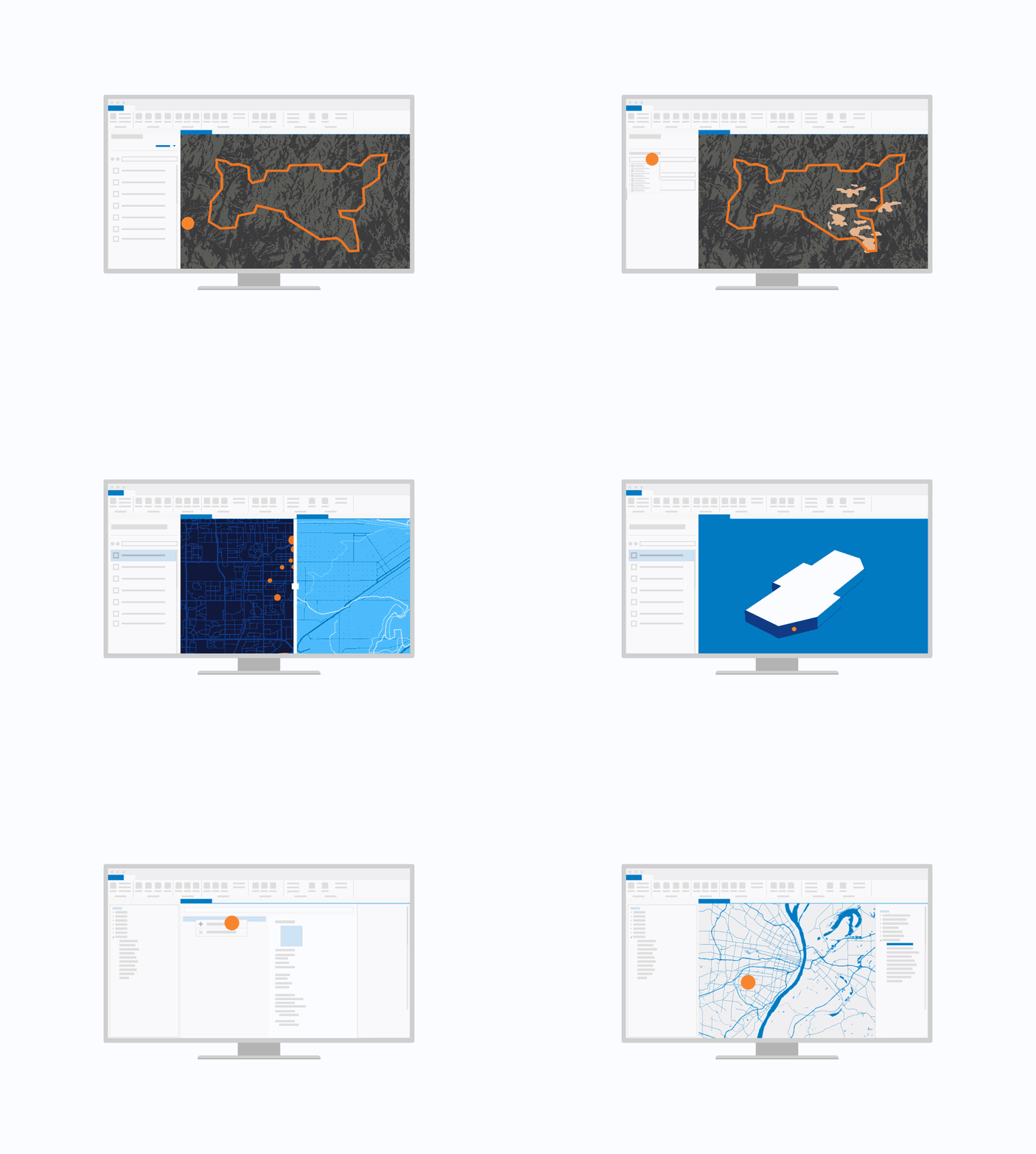
GIS software to make maps so that you can visualise and analyse geospatial data to reveal location intelligence, and share results to make data-driven decisions. ArcGIS is available on-premises or in the cloud.
MapInfo Pro
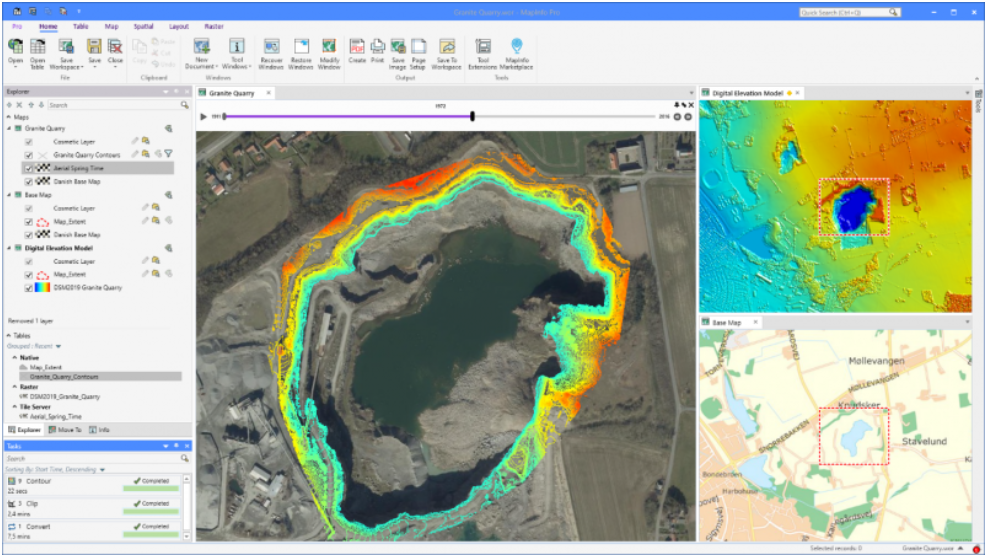
A complete, easy-to-use desktop mapping solution for the geographic information system (GIS) analyst to manage, analyse, edit, and visualise location data - revealing relationships, patterns, and trends.


Ordnance Survey
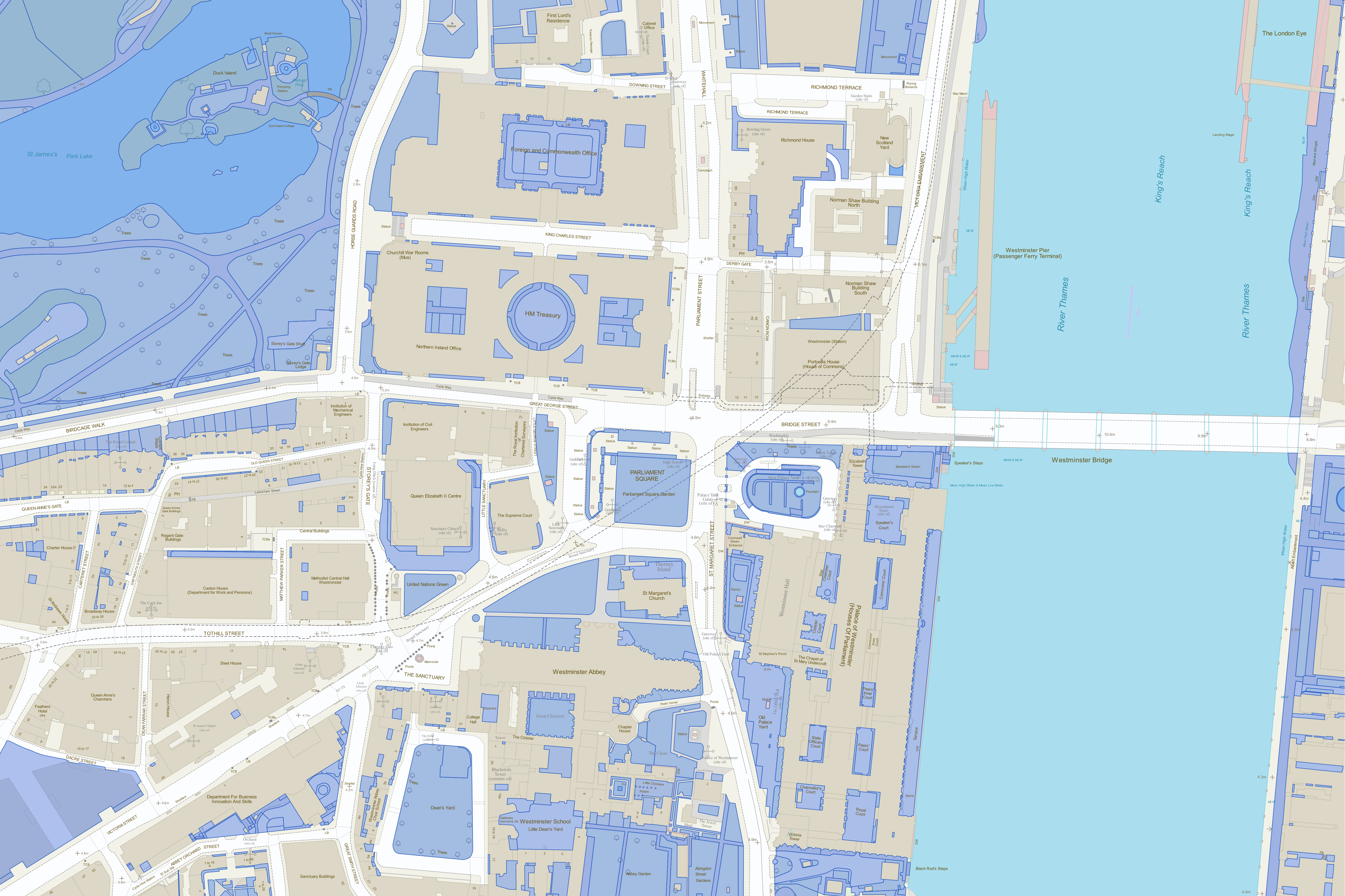
Ordnance Survey’s trusted location data and expertise is helping to build a modern digital Britain.
With OS data and expertise, organisations can create efficiencies, gaining insight and building critical data infrastructures across a wide range of sectors: healthcare, energy, utility, property, retail, transport, finance, and many more.
For developers, the OS Data Hub platform provides access to all Ordnance Survey datasets, through a suite of APIs and data downloads. With it, you can integrate geospatial data into your apps, and even use it to build your own data visualisations and solutions.
No one knows mapping like we do.
Complete the form so one of our mapping team members can book an informal discussion with you about your project. Alternatively, you can:
Call: +44 (0) 1364 655133
Email: mapping@greymatter.com
By submitting this form you are agreeing to our Privacy Policy and Website Terms of Use.


